The Driving Force of the PNW

A powerful storm passes over Grand Coulee Dam at sunset.

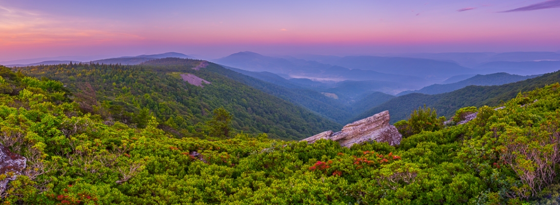
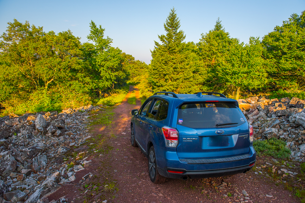
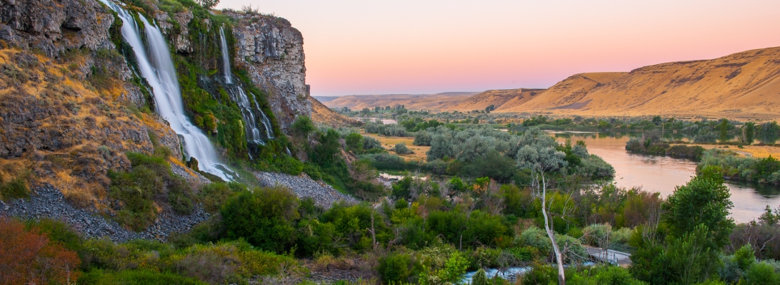
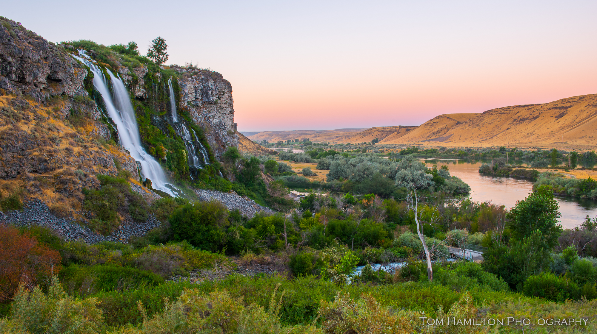
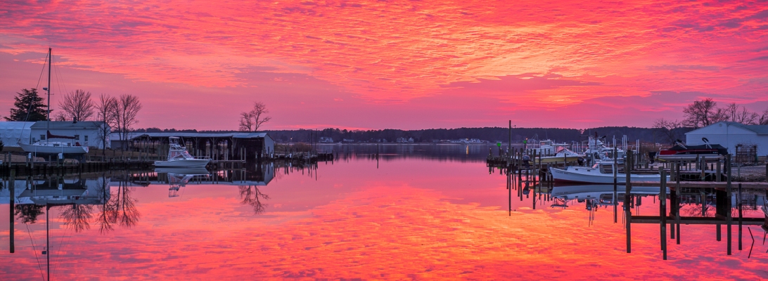
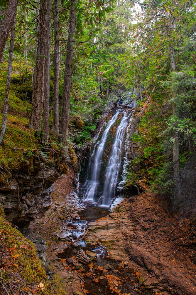
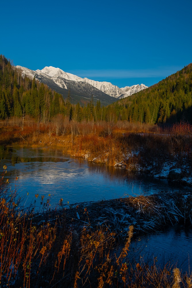
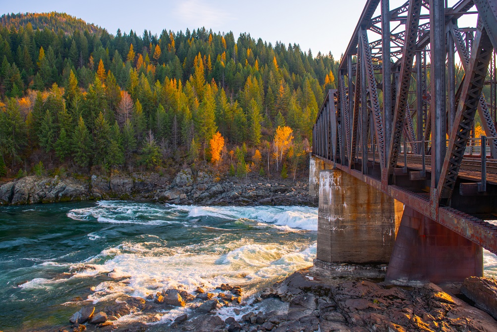
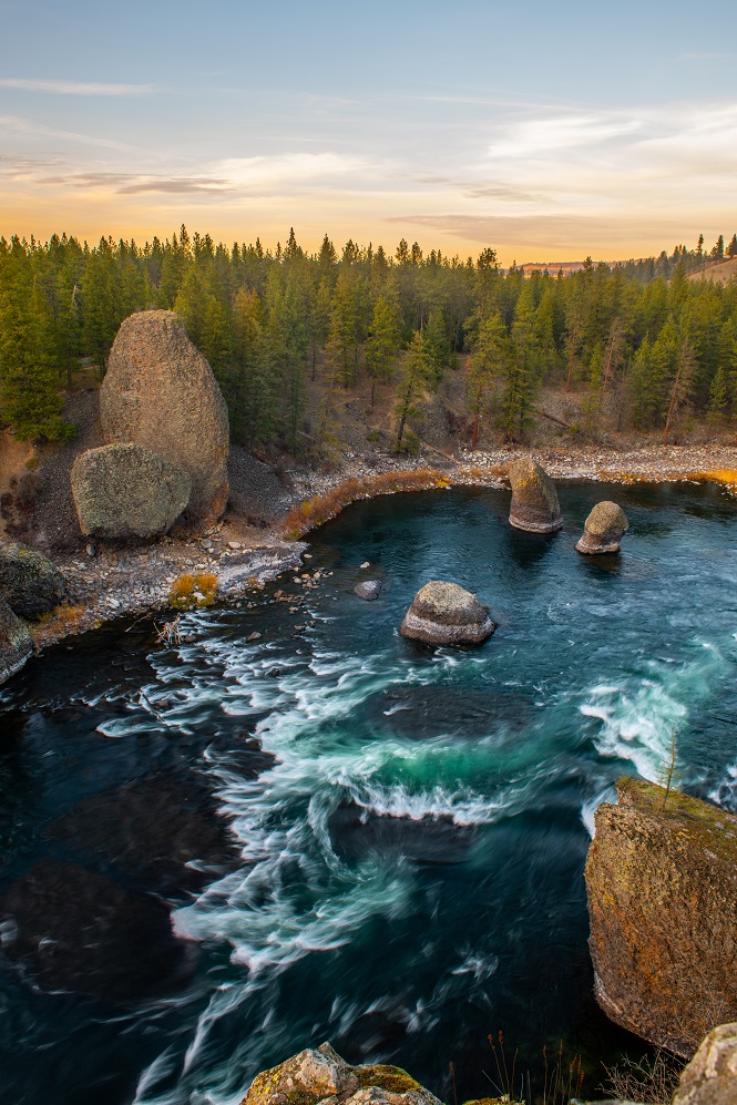
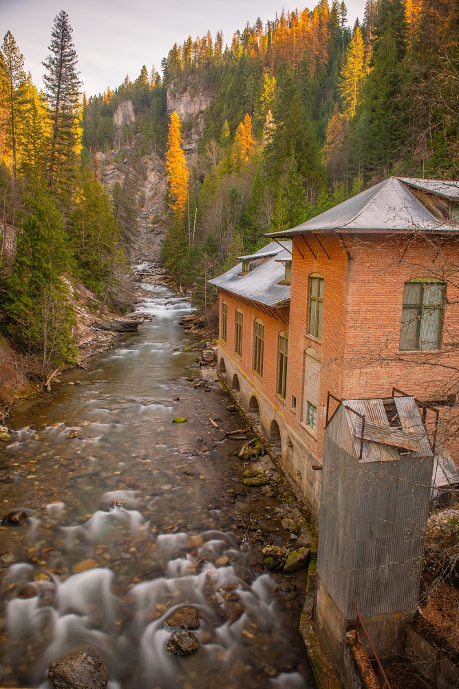
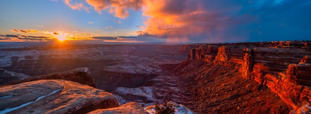
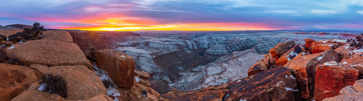
Anyone who has visited the Pacific Northwest (or Pacific Southwest for our Canadian neighbors) knows how much rain is dumped in its Mountain and coastal regions.  It seems that rushing streams are all over the mountains.  After 2 weeks of being in the region, I realized that any venture in the mountains would yield views of beautiful rushing streams.  What was particularly interesting was that even in the desert areas (in the rain shadow of the Cascade Mtns.) water was still a dominant force. 

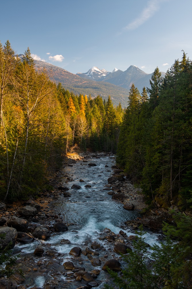
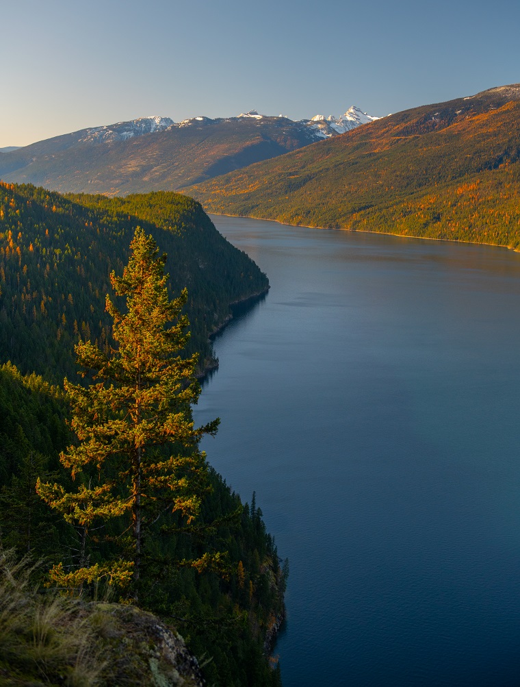
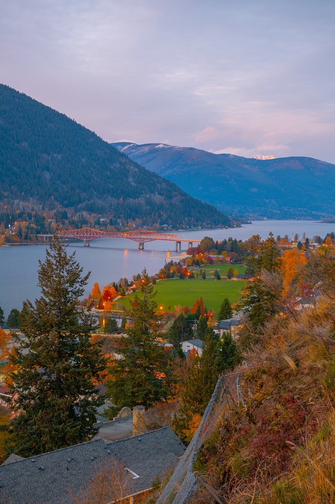
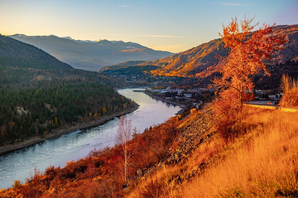
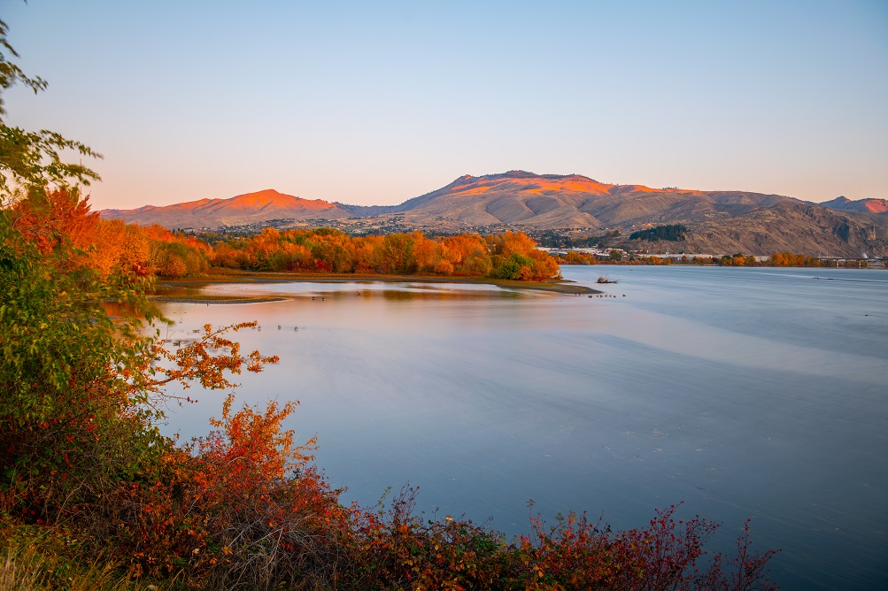
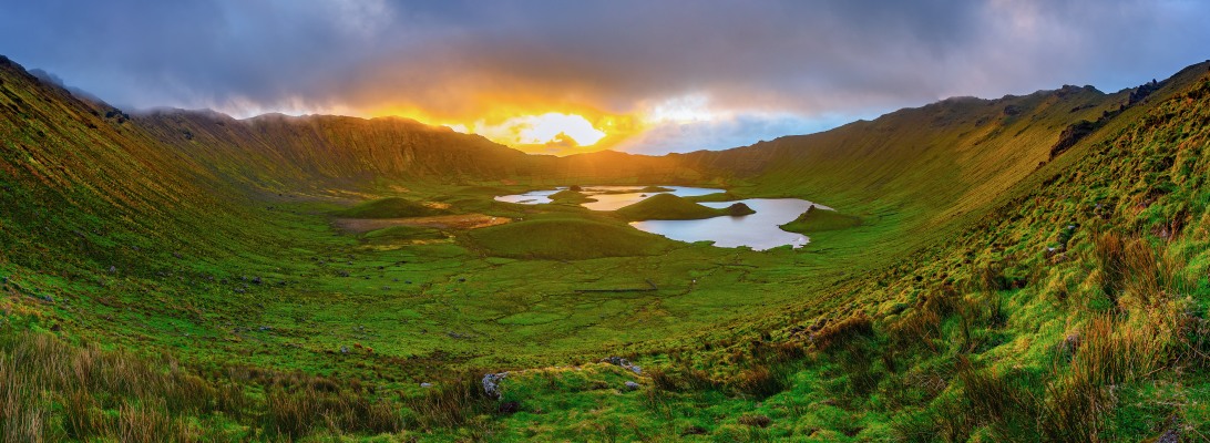
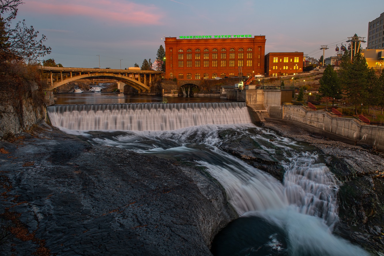
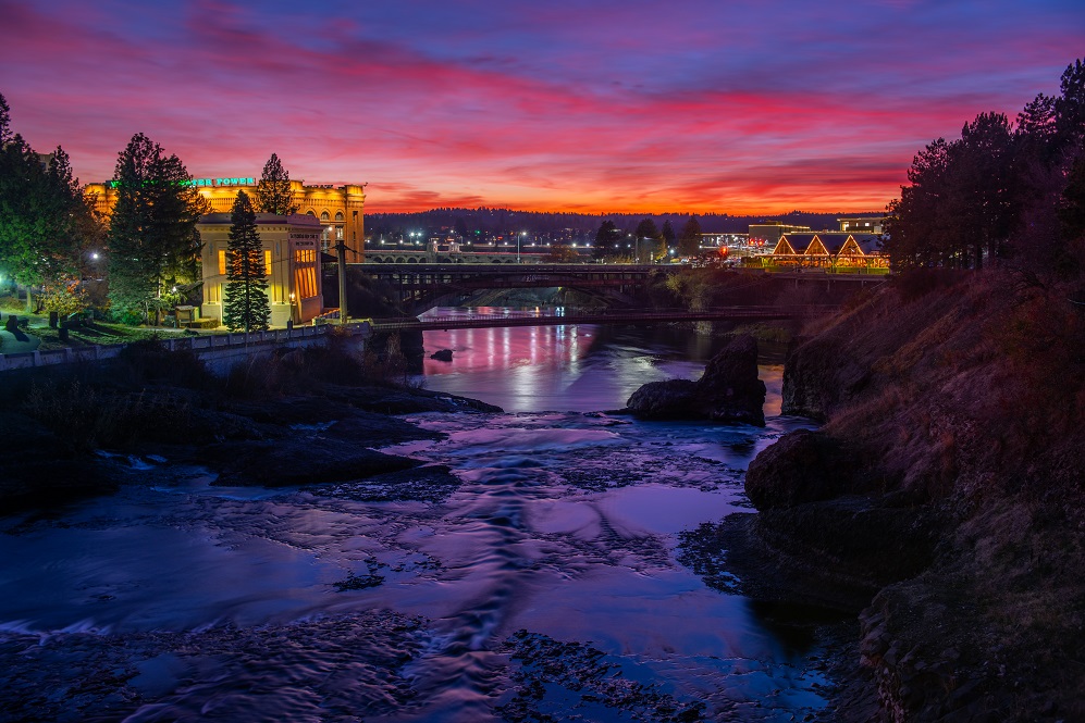
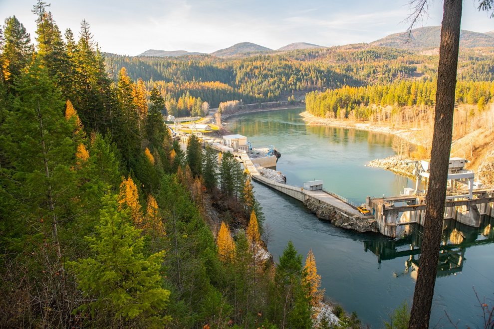
Massive rivers pierce the desert steppes, bringing life to rain parched areas.  The city of Spokane is at the edge of the desert and sprung to life around the large waterfalls of the Spokane River which drains from the Rocky Mountains.  Even larger, the Columbia River is fed by massive amounts of snowfall from as far away as the Rocky Mountains of British Columbia, Montana, and Wyoming.

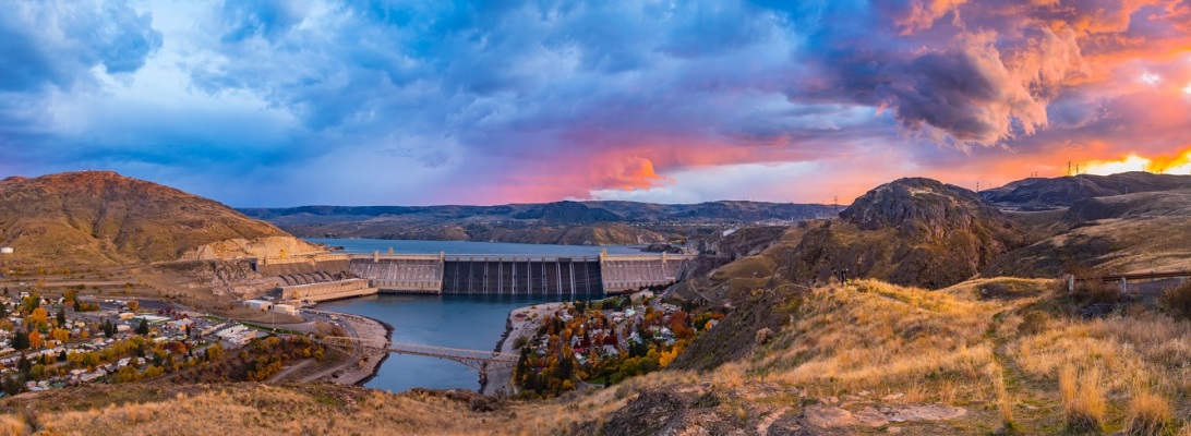
The combination of the plentiful amount of water in this region coupled with its steep topography is the perfect recipe for the creation of electricity by hydroelectric power plants.  And create electricity, they do, EN- MASSE!  The region is powered mostly by cheap, carbon-free hydropower.  So much electricity is produced here that it is exported to areas as far away as Southern California. 

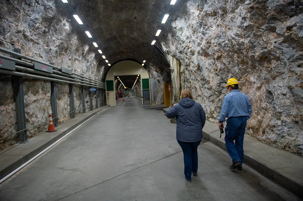
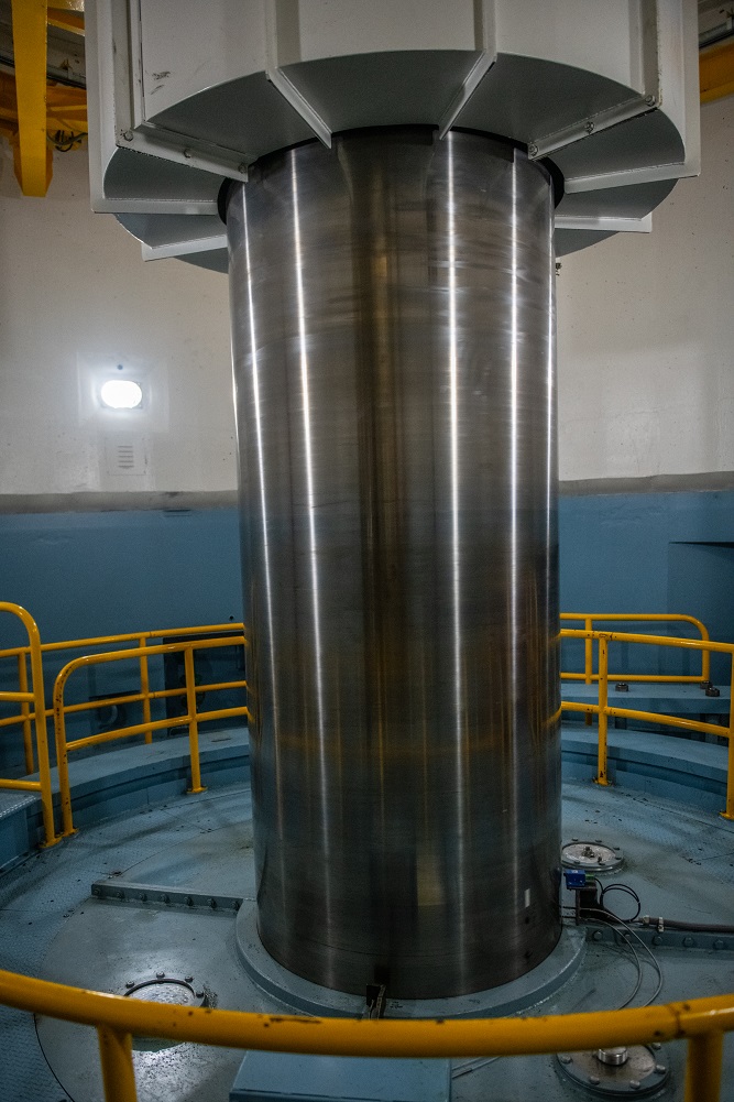
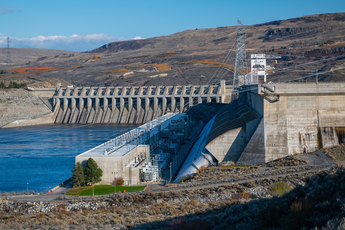
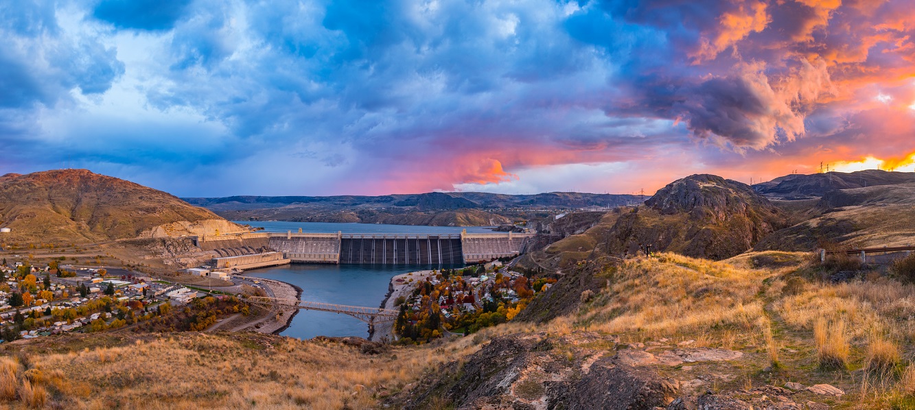
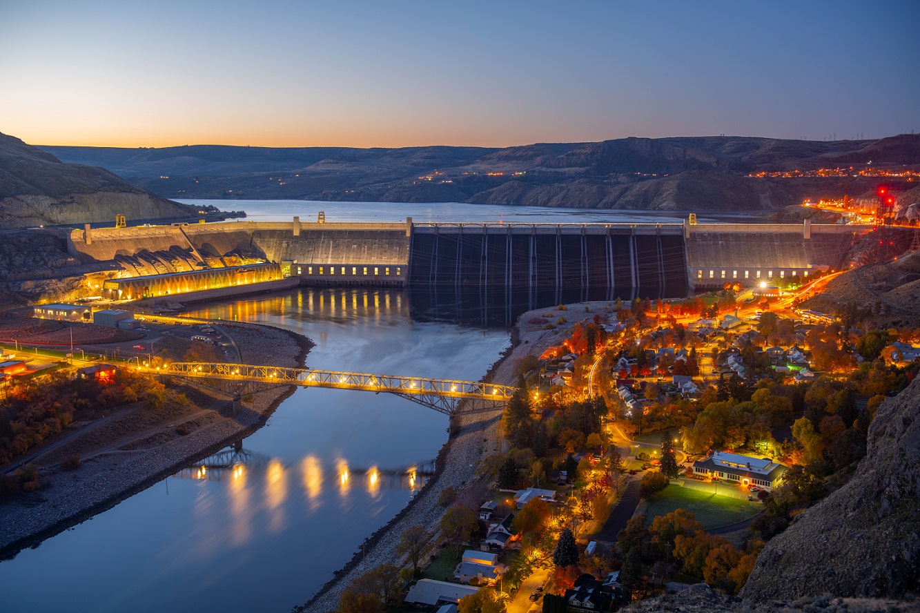
Not only are the largest hydropower plants in the US found along the Columbia river, but the largest power plant period in North America is here.  Grand Coulee Dam is capable of producing almost 7,000MW which is far larger than any fossil fuel or nuclear developments in North America. As big of a power plant as that it is, electricity generation is not Grand Coulee’s primary mission.  A clue comes in its owner, the US Bureau of Reclamation, whose tagline is “managing water in the West”.  Housed in the dam complex are also massive pumps that push water up onto the Columbia Plateau feeding agricultural irrigation canals.  Name a (non-tropical) vegetable and chances are they grow it in Washington.  The arid air, warm sunny days, and cool nights of Eastern Washington summers are the perfect disease-free climate to grow most crops.

Of all the crops though, we all know Washington for one: APPLES.  The city of Wenatchee bills itself as the “Apple Capital of the World.”  It is clear to see this with apple orchards extending up and down the Columbia basin for 100+ miles in either direction!  We were in the area a few weeks after peak harvest and tandem trailer semi-trucks were still making apple deliveries from the orchards to the numerous packing houses.  In a further quest to grow the perfect apple, the region is a hotbed for agricultural innovation.  In just an hour I saw numerous new apple growing techniques that I hadn’t seen anywhere else.

Apple Orchards (glowing red) straddle both sides of the ‘desert’ Columbia River Valley

And one might ask after all this talk about apples, “how were they?”  Watch this video (turn up your volume) and decide for yourself:

Winter in the Southwest

The Sunny Snowy Southwest.  When my family planned this vacation back in the heat of July, I was hopeful that we might get one day of snowfall at the Grand Canyon.  What I didn’t realize was that I should’ve been more careful what I wished for.  Not only did we experience a major snowstorm at the Grand Canyon, but back to back major snowstorms for the entire region.  It was probably one of the snowiest weeks in decades, well that’s at least how the locals were talking about it.

This to me was great, as after all I love winter weather.  It also meant that the 4×4 pickup truck that I’d reserved months before ended up being the perfect rental choice.

Now onto the photography, as afterall this is a photo blog.  It turned out that I probably should’ve wished for a little lot less snow as most of my planned shoots had to be scrapped.  That coupled with heavy cloud banks and fog really did cut down on the sightseeing.  The silver lining was that the shots that I did get were incredible!  The storm clouds made for beautiful lighting when the sun was able to shine through.  That and I got to shoot winter scenes of places (like Zion) that rarely get snow.  The snowfall in Zion National Park was so rare that I met a fellow photographer who had driven 3+ hours from Salt Lake City just to capture it.  That coupled with low visitation volumes (and really cheap hotel rooms!) made for a truly memorable trip.  I can’t wait to come back again in winter!

Incredibly great, not very dismal


r187_5484-3
A full moon sets over the Great Dismal Swamp at sunrise.

It’s been a couple years since I first visited the Great Dismal Swamp National Wildlife Refuge.  Since then, my photography has taken off and I pined to capture images of this incredible place at sunrise.  Fortunately for me, the US Fish and Wildlife Service had opened up the most scenic area of the swamp to allow for sunrise photography.

r187_6276
Pre-sunrise glow paints the sky over lake Drummond. Located at the center of the Great Dismal swamp, Lake Drummond is Virginia’s largest natural lake.

My first shoot was 2 days before Christmas.  I arrived to windless skies which meant that surface of Lake Drummond (Virginia’s largest natural lake) was like a mirror.  The sky was cloudless, which meant that not only did I witness great sky color, but also the setting full moon on the Western horizon.  Having such beautiful conditions in such a special place was like receiving an early Christmas present.

West Texas: Big Landscape Country

I’ve dreamt about exploring Big Bend National Park since I was a child.  However, I’d never been able to make it out to this sparsely visited gem of the National Park System.  The reason: the distance and travel time to get there are too great.  Like so many other things in life though, great things come to those who are willing to put in the effort to achieve them.  So, my wife set out on an 8+ hour drive from the DFW metroplex.  I was pleasantly surprised by how easy this drive was though.  What would be a “pull your hair out in frustration” drive on the East coast was a very relaxing and relatively scenic drive across the Texas Hill Country and into the Chihuahuan Desert.   Low traffic volumes, friendly fellow motorists, and 75-80 MPH speed limits made the drive a breeze.  Given the option, I’d rather drive 10 hours across West Tex versus 1 hour on I-95.

Pure white Gypsum sand dunes in Guadalupe Mountains National Park

As previously alluded to, Texas is vast and this vastness is best expressed in it’s 2 phenomenal National Parks.  In addition to incredibly unique flora & fauna (more on that later), the vast views make these places what they are.  Standing in the middle of the desert, it’s easy to see Mountain Ranges from over 100 miles away.  When you couple that visibility with unique rock formations and beautiful plants, you have the ingredients for incredible photographic material.  Of all the places I’ve photographed, I found Big Bend NP the easiest.  Beautiful views could be seen everywhere and interesting foreground plants abounded.  Some of these plants (agaves, ocotillos, and cacti) along with unique animals (tarantulas!) can’t be found anywhere else in the United States.

But it gets better, Texas is also home to another unique & beautiful National Park, Guadalupe Mountains NP.  Highest Point in Texas is just one of this park’s superlatives.  It also houses one of the world’s largest coral reefs.  Geologists from around the world come to study the ancient reef material that now comprise the rocks that jut 5,000′ from the surrounding desert floor.  The park is also 1 of 2 places in North America where pure white gypsum sand dunes (the same sand that comprises White Sands New Mexico) occur.  The flora here is also impressive: the mountains support the Southernmost Rocky Mountain biome, while the base is Chihuahuan Desert (found mostly in Mexico).  Within a 3 mile hike you can see agaves, cacti, ponderosa pines, maples, and douglas firs.

Happy Independence Day – From the Mountainside Where Freedom Rings


For a couple of years, I’ve been exploring the wonders of North Fork Mountain in West Virginia’s Allegheny Mountains. This hidden gem, while close to other well known sites has visitation levels far far less. This can be accounted for by it’s difficulty in access coupled with little knowledge of its attractions.

182_3707-Pano - C2

Panorama Print

Panorama Photograph of West Virginia mountain scene

$175.00

However, North Fork Mountain may be one of the most geologically and biologically significant sites on the East Coast. It is host to Seneca Rocks, nearby caves, 4,000’+ elevations, and and an impressive rock face along it’s spine. Biologically, it supports one of the driest areas East of the Mississippi, in addition to cool weather species commonly found in the in boreal forest and subarctic regions.


For the past couple of years, I have been attempting to capture the beauty of these incredible sites, but it hasn’t been easy. Many of the most unique sites are located 1500′ to 2500′ above the valley floor with little to no road access. If there is road access, then it is often a bumpy dirt track on private property.

182_3941 - C2
One of the “better” sections of road atop the mountain.

This July 4th I was given access to one of the unique sites by a private land owner. Wanting to take advantage of this, instead of sleeping in, I awoke at 1:00am and made the trek Westward deep into the Alleghenies for sunrise. The drive wasn’t easy, navigating numerous unsigned ‘lightly maintained’ bumpy dirt roads in the dark. However, once I arrived at the summit, I felt like I was awarded with one of the most awe inspiring views on the East Coast. Coupled with that, I had the view all to myself.

With blue and purple mountains off in the distance, the scene seemed like a verse from “America the Beautiful.” This coupled with the vastness of the space, made it feel like I was in the right place to celebrate our freedom on the morning of July 4th.


The Azores: At the end of Europe; At the end of the World

The Açores Archipelago was re-discovered 60 years before Columbus discovered North America. At this time, these islands were truly the end of the world as Europeans knew it.  One can only imagine the thoughts of the first explorers when they saw this wild place in the middle of the harsh North Atlantic Ocean.


181_7517-Pano-Edit-Edit-Edit-Edit - C
The Caldera (Caldeirão) on the Island of Corvo is one of the most peaceful and enchanting places in the Atlantic Ocean.

Despite almost 600 years of settlement, this place still feels on the edge.  I feel like if there was a landscape to epitomize “end of the Earth”, this volcanic landscape would be it.  However, there’s more to this than what’s visible on the surface.  The reason for the Azores creation is that it literally is on the edge, of 3 tectonic plates!  The Island chain sits directly on top of the spot where the European, African, and North American plates intersect.   Here it is possible to sail from one island that is in “Europe” and arrive in “Africa” or “North America”.  All of the pushing and pulling of these 3 massive continents is the catalyst for the volcanic activity that is still creating the islands today.  Just 50 years ago, the island chain’s land area increased by 2km2 !


Because of this “creation”, one could argue that this isn’t the end of the Earth, but the beginning.  Thanks to copious amounts of of moisture, the islands are incredibly green.  In fact they are like gardens, growing citrus fruit and pineapples year round.  Flowers bloom all year, and a deep shade of green pervades every hillside.  The archipelago is so fertile, that most of Portugal’s milk (and excellent cheese!!) is produced here.  Locals even figured out a way to cultivate grapes here and create world-class wines.
So, despite being at the “end of the world”, The Azores are a true paradise.  However, little word has gotten out about this wonderful place, so you might have it all to yourself (as my wife and I did)!


The [Hidden] Gem State

Idaho is beautiful state with so many [unexpected] incredible natural sights peppered throughout its vast landscape.  Many of these are sights that you can’t see anywhere else.  Despite possessing so many wonderful places, the state never never feels crowded.  We were even here for the eclipse which was supposedly the largest swell in population during the State’s history.

173_0855-C
Thousand Springs State Park.  Here numerous springs pour down the walls of the Snake River Gorge, creating an oasis in the desert.

In this modern world, where National Park overcrowding has become a regular topic, it’s nice to find a place where one can truly escape to the wilderness for peace and quiet.  Even as someone that regularly goes to remote areas, the peace and quiet was something that I was unprepared for, and it’s EVERYWHERE across this vast state.

173_5289-C
Sunrise from the Seven Devils in Hells Canyon National Recreation Area.

Speaking of National Parks, Idaho has some world class National Parks, National Forests, and State Parks.  Here you can climb through lava tubes, sandboard down the largest freestanding dune in the US, kayak on pristine alpine lakes, climb glacier covered mountains, raft through the largest wilderness in the lower 48, and gaze into North America’s deepest canyon (yes, it’s 2,000′ deeper than the Grand Canyon!).  There’s a reason why they call Idaho the Gem State and not “the potato state.”

Storms Across NoVA


This past week saw some of the first thunderstorms of the season for 2017.  Rolling through on Thursday night, they caught most of us off guard, as the forecast wasn’t calling for thunderstorms until the following day.  Fortunately, I had the opportunity to head out, upon learning about them.

This shoot started on the West side of the storm as it departed Western Loudoun County.  Eventually, I ended up at Dulles Airport to shoot “The Iconic Dulles Shot” with lightning in the background.  This was by far my best image of the night.  I love how my D810’s imaging sensor was able to extract dim details from the scene, like the faintly visible mamatus clouds in the sky above.

Virginia’s Northern Neck

It’s a place that had always intrigued me, but until recently I had never been to.  The reason was simple, it’s a peninsula that isn’t on the way to anywhere else.  Which in reality is a good thing, allowing the area to develop a character all it’s own…far from the hustle and bustle of the nearby I-95 corridor/megalopolis.  Here, small towns and sleepy waterways reign supreme, adding to the area’s relaxing atmosphere.  Driving through Reedville, we passed by an oyster and shrimp feast at the local fire hall.  We would’ve stopped had we not just filled up at the Northern Neck Burger Company (seriously some of the best burgers that we’ve had anywhere).

Working on my upcoming book, one of the primary things that brought me to the area were the natural sights along the Potomac.  Our first visit was on a gorgeous fall day to the beautiful cliffs at Westmoreland State Park, where it is possible (and encouraged!) to find ancient fossils such as sharks teeth.  In addition to beautiful scenery, the neck has an incredible bald eagle population.  I was able to see and photograph numerous eagles just by driving down major highways.  Outside of Alaska, this was the largest amount of bald eagles that I’ve seen.

Despite the area being “off the beaten path” of today’s travels, it wasn’t always that way.  The Potomac was once a major shipping thoroughfare for goods grown on the Neck’s rich soils.  The productive agriculture gave root to some of Virginia’s most famous families.  In fact, George Washington, James Monroe, and Robert E. Lee were all born here.  So significant is the area’s history that the New York Times wrote an article about it, titling it “Virginia’s Forgotten History.”

164_1916-c